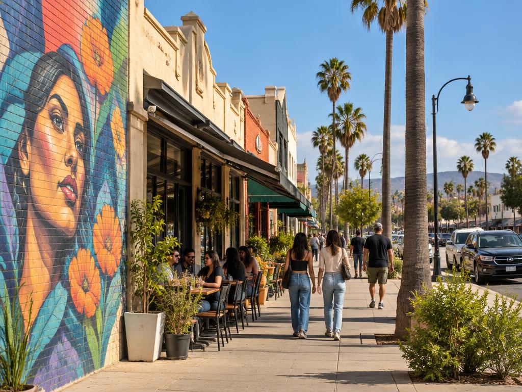
Historic community
Canoga Park
Historic West Valley community with neighborhood businesses, civic life, housing and an established commercial center.
Street scale
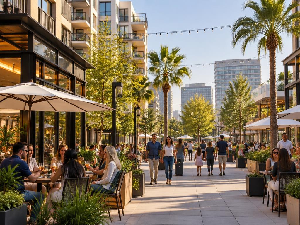
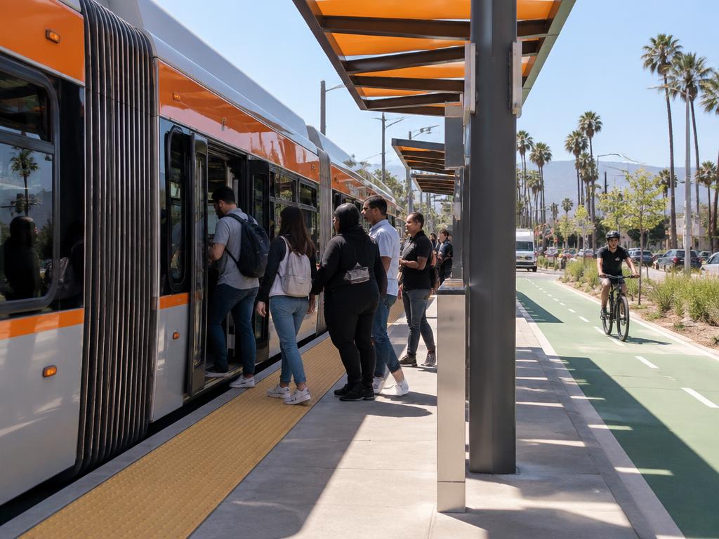
Murals, cafés, promenades and transit — the everyday life of the West Valley.
West San Fernando Valley · Los Angeles
A West Valley Regional Center
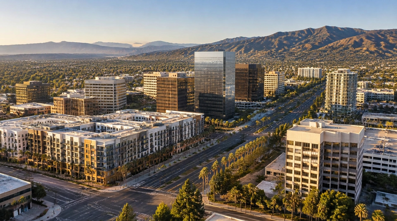
Historic Canoga Park, Warner Center, transit, housing, commerce and major new development come together here at one of the San Fernando Valley's most important urban centers.
Place Identity Series · No. 01 · Editorial geography — not an official City planning district
Region
A major center serving the western Valley and connecting to the larger Los Angeles region.
~25 mi
to Downtown LA
G Line
Metro busway
West
end of the Valley
Place Identity · 01
Historic community
Historic West Valley community with neighborhood businesses, civic life, housing and an established commercial center.
Regional center
The West Valley's major concentration of offices, housing, shopping, entertainment and large-scale development.
Together they help form a larger West Valley center—but each retains its own identity.
Place structure — schematic, not to scale.
1.5 sq mi
Warner Center 2035 plan area
8
Plan districts
2
G Line stations shown
N · S · E · W
LA River · US 101 · De Soto · Topanga
Boundary and district count per LA City Planning, WC2035 Five-Year Status Report (2025).
The eight Warner Center 2035 districts.
The densest mixed-use core.
Explore →Mixed-use blocks toward the north.
Explore →Along the Los Angeles River edge.
Explore →Residential blocks and neighborhood scale.
Explore →Eastern edge, toward Pierce College.
Explore →Employment and business blocks.
Explore →Open space and civic greens.
Explore →Retail along Topanga Canyon Blvd.
Explore →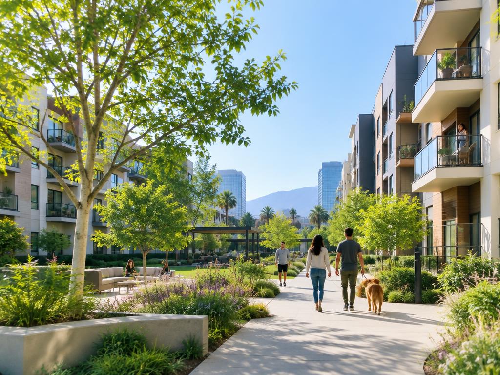
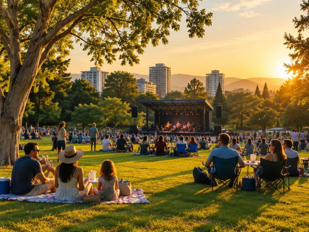
Selected projects reshaping Canoga Park–Warner Center.
APPROVEDIllustrative image6100 N. Topanga Canyon Blvd · former Westfield Promenade site
Source: LA City Planning — Final SEIR (approved by City Council, Dec 2020)
View projectProject slot
Add a verified project with source.
Project slot
Add a verified project with source.
Project slot
Add a verified project with source.
Project slot
Add a verified project with source.
Specific Plan · LA City Planning
The Warner Center 2035 Specific Plan provides the City planning framework for growth, development, mobility and urban form within Warner Center.
Community Plan
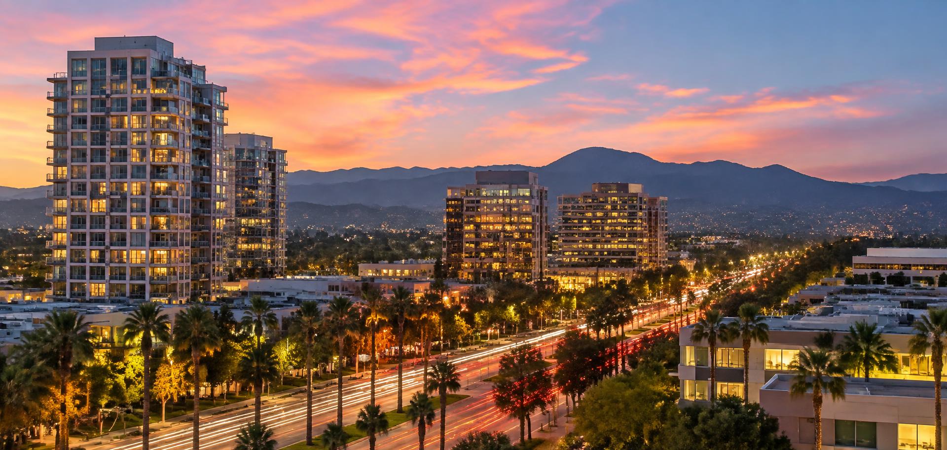
Warner Center at dusk
Warner Center
Murals and storefronts
Downtown Canoga Park
Boarding the G Line
Metro G Line
Evening on the lawn
Warner Park
New residential courtyards
Warner Center
An editorial guide to places worth knowing.
Apartment Community
Residential life near transit and parks.
Explore place →Restaurant
Outdoor dining in the center.
Explore place →Local Business
Independent shops on historic streets.
Explore place →Cultural Place
Concerts, events and public life.
Explore place →Canoga Park–Warner Center / SFV
An established community, a growing regional center and a changing urban landscape are creating a new kind of place in the western San Fernando Valley.
Explore the place